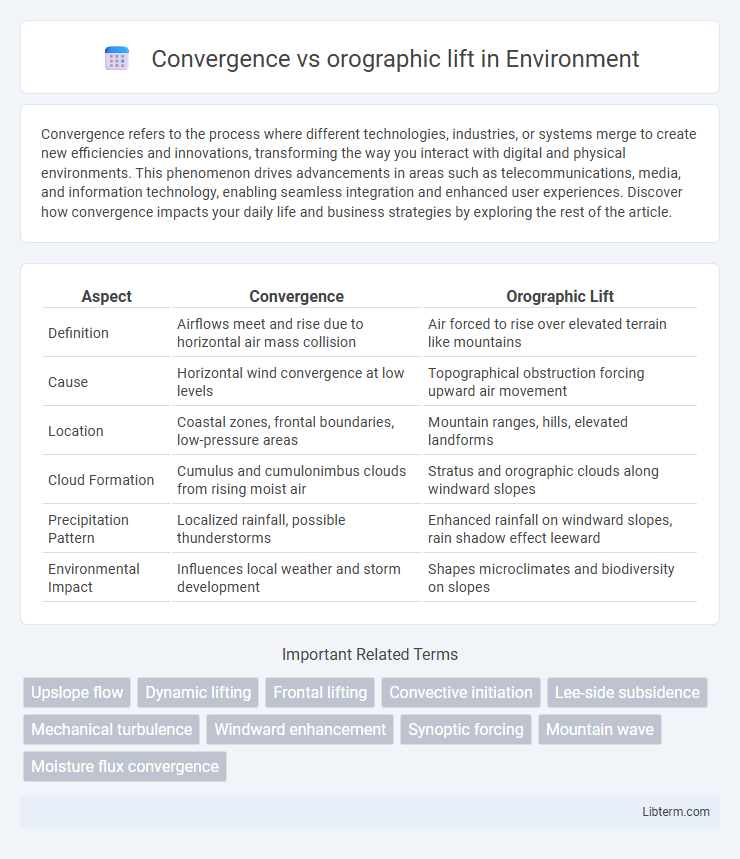
Convergence refers to the process where different technologies, industries, or systems merge to create new efficiencies and innovations, transforming the way you interact with digital and physical environments. This phenomenon drives advancements in areas such as telecommunications, media, and information technology, enabling seamless integration and enhanced user experiences. Discover how convergence impacts your daily life and business strategies by exploring the rest of the article.
Table of Comparison
| Aspect | Convergence | Orographic Lift |
|---|---|---|
| Definition | Airflows meet and rise due to horizontal air mass collision | Air forced to rise over elevated terrain like mountains |
| Cause | Horizontal wind convergence at low levels | Topographical obstruction forcing upward air movement |
| Location | Coastal zones, frontal boundaries, low-pressure areas | Mountain ranges, hills, elevated landforms |
| Cloud Formation | Cumulus and cumulonimbus clouds from rising moist air | Stratus and orographic clouds along windward slopes |
| Precipitation Pattern | Localized rainfall, possible thunderstorms | Enhanced rainfall on windward slopes, rain shadow effect leeward |
| Environmental Impact | Influences local weather and storm development | Shapes microclimates and biodiversity on slopes |
Introduction to Atmospheric Lifting Mechanisms
Convergence and orographic lift are key atmospheric lifting mechanisms that drive cloud formation and precipitation. Convergence occurs when horizontal airflows meet and are forced upward, often leading to widespread cloud development, while orographic lift happens when airflow encounters elevated terrain and is forced upward, causing localized precipitation on windward slopes. Understanding these processes is crucial for accurate weather prediction and climate modeling in regions influenced by varying topography and atmospheric conditions.
What is Convergence Lift?
Convergence lift occurs when air masses move toward each other at the surface, forcing the air to rise due to the accumulation of air in a limited area. This process is common along frontal boundaries and in low-pressure zones where horizontal wind speeds decrease and converge. Convergence lift plays a crucial role in triggering thunderstorms and enhancing cloud formation by promoting vertical motion in the atmosphere.
What is Orographic Lift?
Orographic lift occurs when an air mass is forced to rise over a mountain or elevated terrain, causing it to cool and condense, which often leads to precipitation on the windward side. This process significantly influences local weather patterns by creating wetter conditions on the windward slopes and drier, rain-shadow effects on the leeward side. Unlike convergence, which involves airflows meeting and rising due to colliding winds, orographic lift is directly related to topographic features impacting airflow.
Key Differences Between Convergence and Orographic Lift
Convergence occurs when airflows from different directions meet and rise, often leading to cloud formation and precipitation, typically observed in low-pressure zones or frontal boundaries. Orographic lift happens when air masses are forced to ascend due to terrain features like mountains, resulting in cooling and condensation primarily on the windward side of the elevation. The key difference lies in the cause of uplift: convergence is driven by horizontal wind interactions at the surface, whereas orographic lift is caused by vertical displacement of air over physical topography.
Meteorological Conditions Favoring Convergence Lift
Meteorological conditions favoring convergence lift include low-level winds from different directions that collide, forcing air to rise and promote cloud formation. This phenomenon is often observed in regions with weak pressure gradients where surface airflow converges horizontally. Unlike orographic lift, which depends on terrain, convergence lift is primarily driven by atmospheric dynamics such as frontal boundaries or sea breezes.
Weather Patterns Associated with Orographic Lift
Orographic lift occurs when moist air masses are forced to ascend over mountain ranges, leading to cooling and condensation that produces significant precipitation on the windward slopes. This process generates distinct weather patterns characterized by heavy rainfall, cloud formation, and possible thunderstorms, while creating rain shadow effects with drier conditions on the leeward side. The enhanced precipitation and localized storm development associated with orographic lift influence regional climate and hydrology, distinguishing it from convergence-driven weather systems.
Impact on Cloud Formation and Precipitation
Convergence occurs when airflows meet and ascend, often generating widespread clouds and steady precipitation, especially in low-pressure systems. Orographic lift forces moist air up over mountains, resulting in rapid condensation, typically producing localized, intense rainfall on the windward side and dry conditions in the rain shadow area. While convergence leads to broad-scale cloud formation through horizontal air mass interaction, orographic lift creates vertical displacement-induced clouds, significantly impacting regional precipitation distribution patterns.
Geographic Examples of Convergence and Orographic Lifting
Convergence occurs when airflows from different directions meet, causing upward motion, as seen in the Intertropical Convergence Zone (ITCZ) near the equator, where trade winds from both hemispheres collide. Orographic lifting happens when moist air is forced to ascend over mountain ranges, exemplified by the Western Ghats in India, where moist southwest monsoon winds rise, cool, and produce heavy rainfall on the windward side. Both processes contribute significantly to regional precipitation patterns and play crucial roles in shaping local climates.
Role in Severe Weather Events
Convergence and orographic lift both play critical roles in severe weather events by enhancing atmospheric instability and precipitation. Convergence forces air masses to collide and rise, promoting the development of thunderstorms and tornadoes in low-pressure zones. Orographic lift causes moist air to ascend mountainous terrain, intensifying rainfall and triggering flash floods and localized severe storms.
Conclusion: Choosing the Right Lifting Mechanism for Forecasting
Forecast accuracy improves by selecting the appropriate lifting mechanism, with convergence favoring widespread precipitation events linked to low-level wind patterns, while orographic lift predominantly triggers localized rainfall on windward mountain slopes. Forecasters must analyze regional topography alongside prevailing airflow to determine if uplift is primarily driven by horizontal wind convergence or terrain-induced ascent. Integrating high-resolution atmospheric models with geographic data optimizes predictions for rainfall intensity and distribution in both convergence and orographic lift scenarios.
Convergence Infographic

 libterm.com