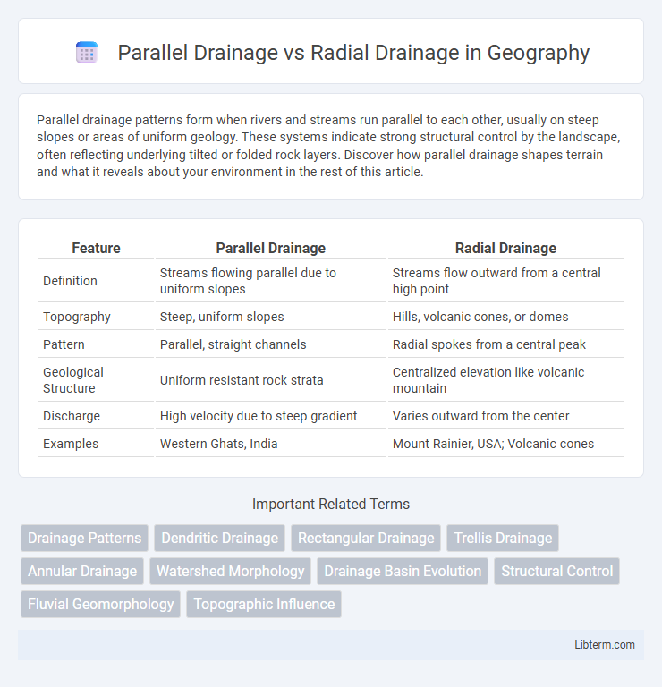
Parallel drainage patterns form when rivers and streams run parallel to each other, usually on steep slopes or areas of uniform geology. These systems indicate strong structural control by the landscape, often reflecting underlying tilted or folded rock layers. Discover how parallel drainage shapes terrain and what it reveals about your environment in the rest of this article.
Table of Comparison
| Feature | Parallel Drainage | Radial Drainage |
|---|---|---|
| Definition | Streams flowing parallel due to uniform slopes | Streams flow outward from a central high point |
| Topography | Steep, uniform slopes | Hills, volcanic cones, or domes |
| Pattern | Parallel, straight channels | Radial spokes from a central peak |
| Geological Structure | Uniform resistant rock strata | Centralized elevation like volcanic mountain |
| Discharge | High velocity due to steep gradient | Varies outward from the center |
| Examples | Western Ghats, India | Mount Rainier, USA; Volcanic cones |
Introduction to Drainage Patterns
Drainage patterns form the framework for understanding how water flows across landscapes, with parallel and radial drainage being two fundamental types. Parallel drainage occurs where streams run parallel to each other, typically on steep slopes or elongated landforms, reflecting uniform rock resistance or slope direction. Radial drainage features streams radiating outward from a central high point, such as a volcano or dome, illustrating the influence of topographic highs on water flow direction.
Defining Parallel Drainage
Parallel drainage is characterized by streams or rivers flowing in the same general direction, often parallel to one another, typically occurring on steep slopes or elongated landforms where rapid surface runoff shapes the landscape. This drainage pattern contrasts with radial drainage, where streams radiate outward from a central elevated point, such as a volcanic cone or dome. Parallel drainage indicates uniform slope gradients and reflects structural controls like tilted strata or faults influencing channel orientation.
Understanding Radial Drainage
Radial drainage patterns develop when streams flow outward from a central elevated point such as a volcano or dome, distributing water evenly in all directions. This drainage type is characterized by rivers originating from a high central peak and radiating outwards like spokes on a wheel, facilitating efficient water runoff and sediment transport. Understanding radial drainage is crucial for assessing volcanic landscape evolution and managing watersheds in mountainous regions.
Geological Factors Influencing Drainage Patterns
Parallel drainage patterns develop in regions with steep slopes and consistent, uniform rock strata that guide streams to flow in parallel courses. Radial drainage forms around central elevated areas such as volcanic cones or domes, where streams radiate outward due to the structural uplift. The underlying geological formations and topographical variations critically dictate the structural orientation and flow direction in both drainage systems.
Key Differences: Parallel vs Radial Drainage
Parallel drainage features streams running in the same direction, often found on steep slopes with uniform rock resistance, promoting linear flow patterns. Radial drainage patterns occur when rivers flow outward from a central elevated point such as a volcano or dome, creating spokes radiating in different directions. The key difference lies in their formation: parallel drainage aligns with slope gradient, while radial drainage radiates from a central high point.
Formation Processes of Parallel Drainage
Parallel drainage develops primarily on steep slopes or regions with uniform rock resistance where rivers and streams flow in parallel courses, shaped by consistent gradient and structural control. This drainage pattern is commonly found in areas with tilted or folded sedimentary layers, causing watercourses to align parallel to one another as they follow the path of least resistance. The formation process heavily depends on linear geological features such as ridges or valleys, resulting in streamlined, evenly spaced tributaries.
Formation Processes of Radial Drainage
Radial drainage forms when streams flow outward in all directions from a central high point, such as a volcanic dome or conical hill, driven by gravitational forces on steep slopes. This pattern develops due to the symmetrical uplift and erosion around a single peak, causing water to radiate away uniformly. In contrast, parallel drainage forms on elongated slopes where streams run parallel due to consistent gradient and underlying rock structure.
Real-World Examples of Parallel Drainage
Parallel drainage systems are characterized by streams that run parallel to each other, typically found on steep slopes or elongated landforms like the western slopes of the Rocky Mountains in the United States. This drainage pattern results from uniform slope gradients and consistent rock resistance, allowing rivers and streams to flow in the same general direction without significant branching. Real-world examples include the streams descending the Eastern Ghats in India and the Appalachian Mountains, where elongated ridges guide the parallel waterways.
Real-World Examples of Radial Drainage
Radial drainage patterns are commonly observed around volcanic cones and domes, such as Mount Rainier in the United States and Mount Vesuvius in Italy, where streams radiate outward from a central high point. This distinctive drainage system aids in efficiently channeling water away from elevated volcanic landforms, reducing erosion at the summit. In contrast, parallel drainage typically forms on steep, uniform slopes like the Appalachian Mountains, where streams run in the same direction, reflecting the underlying rock structure.
Significance and Applications of Drainage Patterns
Parallel drainage patterns indicate uniform slope direction and are significant in regions with steep, linear ridges guiding consistent water flow, often found in folded mountains like the Appalachians; they aid in efficient surface runoff management and erosion control. Radial drainage patterns occur on isolated volcanic cones or domes, directing water outward from a central peak, crucial for studying volcanic landforms and groundwater recharge zones. Understanding these drainage patterns helps in flood prediction, watershed management, and infrastructure planning in diverse geomorphic settings.
Parallel Drainage Infographic

 libterm.com