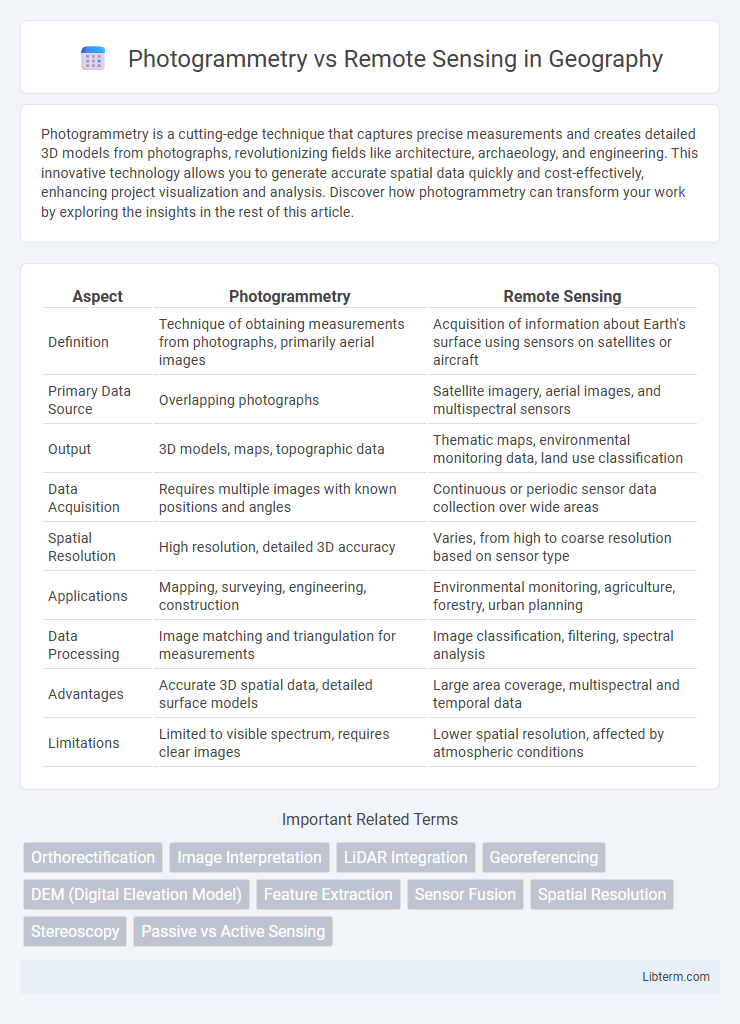
Photogrammetry is a cutting-edge technique that captures precise measurements and creates detailed 3D models from photographs, revolutionizing fields like architecture, archaeology, and engineering. This innovative technology allows you to generate accurate spatial data quickly and cost-effectively, enhancing project visualization and analysis. Discover how photogrammetry can transform your work by exploring the insights in the rest of this article.
Table of Comparison
| Aspect | Photogrammetry | Remote Sensing |
|---|---|---|
| Definition | Technique of obtaining measurements from photographs, primarily aerial images | Acquisition of information about Earth's surface using sensors on satellites or aircraft |
| Primary Data Source | Overlapping photographs | Satellite imagery, aerial images, and multispectral sensors |
| Output | 3D models, maps, topographic data | Thematic maps, environmental monitoring data, land use classification |
| Data Acquisition | Requires multiple images with known positions and angles | Continuous or periodic sensor data collection over wide areas |
| Spatial Resolution | High resolution, detailed 3D accuracy | Varies, from high to coarse resolution based on sensor type |
| Applications | Mapping, surveying, engineering, construction | Environmental monitoring, agriculture, forestry, urban planning |
| Data Processing | Image matching and triangulation for measurements | Image classification, filtering, spectral analysis |
| Advantages | Accurate 3D spatial data, detailed surface models | Large area coverage, multispectral and temporal data |
| Limitations | Limited to visible spectrum, requires clear images | Lower spatial resolution, affected by atmospheric conditions |
Introduction to Photogrammetry and Remote Sensing
Photogrammetry involves acquiring precise measurements and 3D models from photographic images, primarily used for mapping and surveying, while remote sensing captures data from satellite or aerial sensors to analyze Earth's surface at various scales. Both technologies utilize electromagnetic spectrum data but differ in data acquisition: photogrammetry relies on overlapping imagery for spatial accuracy, whereas remote sensing emphasizes spectral and temporal information for environmental monitoring. Integration of photogrammetry and remote sensing enhances geospatial analysis, enabling comprehensive terrain modeling, land use classification, and resource management.
Core Principles and Definitions
Photogrammetry involves extracting precise 3D measurements and models from overlapping photographic images, relying on geometry and image processing techniques to reconstruct spatial information. Remote sensing is the acquisition of information about Earth's surface using sensors on satellites or aircraft, capturing data across various electromagnetic spectrum bands to analyze environmental and geographical features. Both disciplines use imagery for spatial analysis but differ as photogrammetry emphasizes geometric reconstruction, while remote sensing focuses on spectral data interpretation.
Key Technologies Involved
Photogrammetry utilizes advanced camera systems, including stereo imaging and structure-from-motion algorithms, to reconstruct 3D spatial data from overlapping images. Remote sensing relies on satellite or aerial sensors such as LiDAR, multispectral, and hyperspectral scanners to capture detailed spectral information for environmental analysis. Both technologies integrate GPS and inertial measurement units (IMUs) to enhance georeferencing accuracy and data precision.
Data Acquisition Methods
Photogrammetry captures high-resolution imagery by using overlapping photographs taken from multiple angles, enabling detailed 3D modeling and precise spatial measurements. Remote sensing acquires data through satellite or airborne sensors that detect electromagnetic radiation across various spectral bands, providing extensive environmental and land cover information. Both methods utilize different platforms and sensor technologies to collect geospatial data, with photogrammetry emphasizing optical imagery and remote sensing incorporating multispectral and hyperspectral data collection.
Types of Sensors Used
Photogrammetry primarily employs optical sensors such as digital cameras and LiDAR systems to capture high-resolution images and precise 3D spatial data. Remote sensing utilizes a broader range of sensors, including multispectral and hyperspectral scanners, radar, and thermal infrared sensors, enabling the detection of various environmental and surface characteristics. The choice of sensor in photogrammetry emphasizes spatial accuracy and detail, while remote sensing sensors focus on spectral information and environmental monitoring.
Accuracy and Resolution Comparison
Photogrammetry offers high spatial resolution by extracting precise 3D measurements from overlapping images, making it ideal for detailed surface modeling. Remote sensing captures data across broader spectral bands and larger areas but often with lower spatial resolution compared to photogrammetry. Accuracy in photogrammetry excels in local-scale mapping, while remote sensing provides valuable multispectral and temporal information for regional or global analysis.
Major Applications Across Industries
Photogrammetry is extensively used in architecture, construction, and cultural heritage preservation for creating precise 3D models and detailed maps from photographs. Remote sensing plays a critical role in agriculture, environmental monitoring, and disaster management by providing large-scale data on land use, vegetation health, and climate patterns through satellite or aerial sensors. Both technologies support urban planning and natural resource management but differ in their data acquisition methods and spatial resolution capabilities.
Advantages and Limitations
Photogrammetry offers high-resolution, accurate 3D models ideal for detailed mapping but requires clear, overlapping images and can be labor-intensive in processing. Remote sensing provides extensive spatial coverage and frequent data acquisition, suitable for large-scale environmental monitoring, yet it often has lower resolution and may be affected by atmospheric conditions. Both methods complement each other by balancing precision and area coverage, depending on project requirements.
Integration of Photogrammetry with Remote Sensing
Integrating photogrammetry with remote sensing enhances the accuracy and detail of spatial data by combining high-resolution 3D models from photogrammetry with multispectral and hyperspectral imagery obtained through remote sensing. This fusion enables precise topographic mapping, improved land cover classification, and enhanced environmental monitoring. Advanced algorithms facilitate data co-registration and feature extraction, optimizing the complementary strengths of both technologies for applications in urban planning, agriculture, and disaster management.
Future Trends and Innovations
Future trends in photogrammetry emphasize integration with AI-driven algorithms for enhanced 3D modeling accuracy and real-time data processing using drone technology. Remote sensing innovations focus on hyperspectral imaging and advanced sensor fusion to improve environmental monitoring and predictive analytics. Both fields are converging towards cloud-based platforms and machine learning applications to enable scalable, automated geospatial analysis.
Photogrammetry Infographic

 libterm.com